Kyrkjebø (village)
| Kyrkjebø | |
|---|---|
| Village | |
 Kyrkjebø 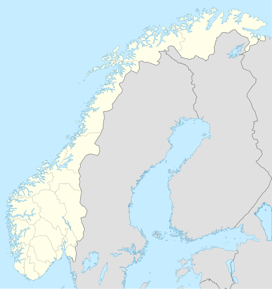 Kyrkjebø Location in Sogn og Fjordane county | |
| Coordinates: 61°09′48″N 05°54′17″E / 61.16333°N 5.90472°ECoordinates: 61°09′48″N 05°54′17″E / 61.16333°N 5.90472°E | |
| Country | Norway |
| Region | Western Norway |
| County | Sogn og Fjordane |
| District | Sogn |
| Municipality | Høyanger Municipality |
| Area[1] | |
| • Total | 0.29 km2 (0.11 sq mi) |
| Elevation[2] | 20 m (70 ft) |
| Population (2013)[1] | |
| • Total | 277 |
| • Density | 955/km2 (2,470/sq mi) |
| Time zone | CET (UTC+01:00) |
| • Summer (DST) | CEST (UTC+02:00) |
| Post Code | 6995 Kyrkjebø |
Kyrkjebø (historically: Kirkebø) is a village in Høyanger Municipality in Sogn og Fjordane county, Norway. The village is located on the northern shore of the Sognefjorden, about halfway between the small Vadheimsfjorden and Høyangsfjorden arms which branch off the main fjord. The village sits about 3 kilometres (1.9 mi) to the west of the village of Austreim, about 13 kilometres (8.1 mi) to the southwest of the village of Høyanger (the municipal centre), and 11 kilometres (6.8 mi) southeast of the village of Vadheim, where the European route E39 highway passes through the municipality. The 0.29-square-kilometre (72-acre) village has a population (2013) of 277, giving the village a population density of 955 inhabitants per square kilometre (2,470/sq mi).[1][3]

Name
The village is named after the old Kirkebø farm, since Kyrkjebø Church was located there. The first element of the name is identical with the name for "church", and the second element of the name is identical with the word for "farm". It was named this because it was the farm where the church was located. From 1890 until 1917 the name was spelled Kirkebø (using the Bokmål spelling) and then in 1917 it was changed to Kyrkjebø (using the Nynorsk spelling).[4]
References
- 1 2 3 Statistisk sentralbyrå (1 January 2013). "Urban settlements. Population and area, by municipality.".
- ↑ "Kyrkjebø, Høyanger" (in Norwegian). yr.no. Retrieved 2014-01-18.
- ↑ Store norske leksikon. "Kyrkjebø tettsted i Høyanger" (in Norwegian). Retrieved 2014-01-18.
- ↑ "Kyrkjebø – tidl. kommune" (in Norwegian). Store norske leksikon. Retrieved 2009-12-15.